The book 'The New Canal District' and the exhibition 'A Better City' are an initiative of the Van Eesteren-Fluck & Van Lohuizen Foundation and of Monuments and Archaeology (municipality of Amsterdam).
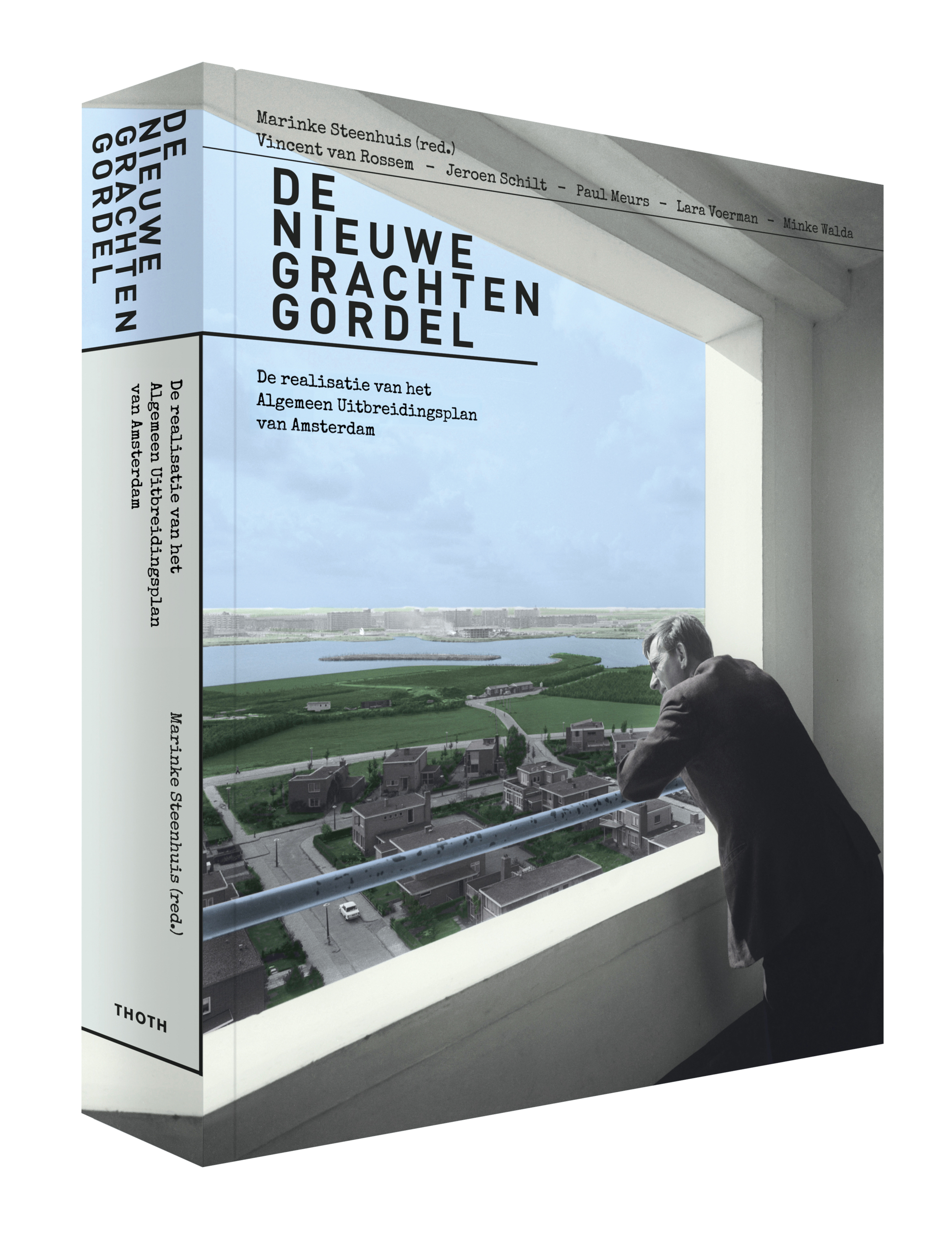
Realisation of the General Extension Plan of Amsterdam
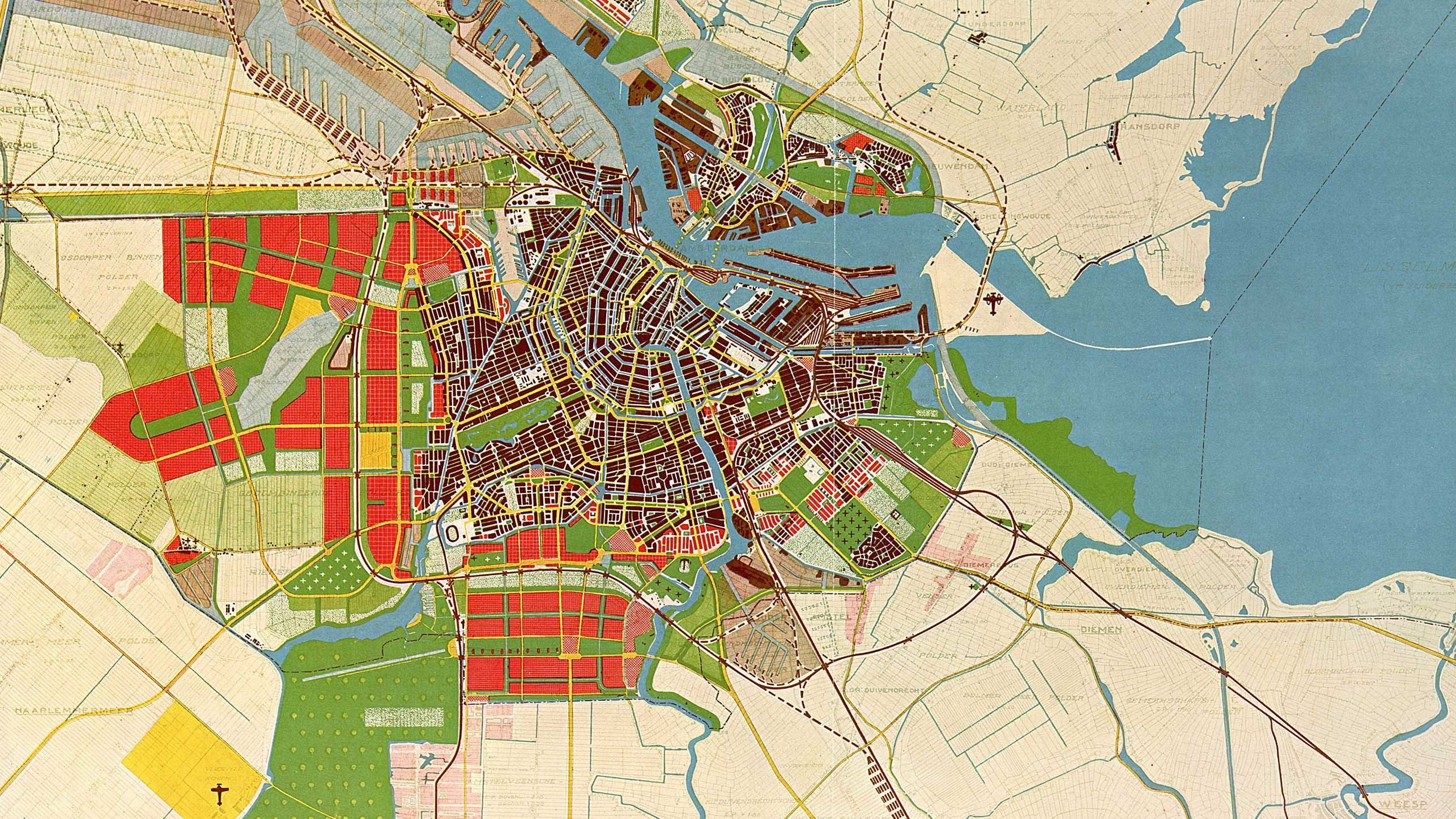
The General Extension Plan(AUP) was developed in the 1930s, because Amsterdam urgently needed to expand. An urban expansion with the allure of the ring of canals, that was the ambition behind the AUP of 1934. This did not mean a literal copy of monumental street walls along curved waterways, but a new city in which everyone - socially equal and surrounded by sufficient space, greenery and light - could develop further. The solution was found in a series of new garden cities.
The realisation of the plan led to a doubling of the size of the city from 1949 onwards. In an astonishingly short period of ten years, 50,000 houses were built around Amsterdam in districts such as Bos en Lommer, Watergraafsmeer, Slotermeer, Geuzenveld, Osdorp and Buitenveldert. How did Amsterdam organise this mega task, which (foreign) cities served as examples? What were the recurring themes and problems?
The book 'The New Canal District
The authors spent months in the endless archive of the Amsterdam Public Works Department. This inexhaustible source of data is the true protagonist of this book. The General Expansion Plan, with L.S.P. Scheffer, Theo van Lohuizen, Cornelis van Eesteren and Jacoba Mulder as its most important founders, is the showpiece of modern urban planning, with such splendid design discoveries as the Sloterplas, Tuindorp Frankendaal and the parks around the Nieuwe Meer and the Amstel. The plan received much praise, also from abroad, and to this day plays an important role in the expansion and densification of the city.
The first copy of the book was presented to Mayor E. van der Laan at the opening of the supporting exhibition 'A Better City', on view in Amsterdam until 17 July 2017.
The Exhibition 'A Better City
The exhibition 'A better city' to accompany the book is made up of several period rooms. The room with the large map, which lies under a chandelier and on a table with dark green skirts, is meant to reflect the feeling of 1935. On the walls are drawings that show, from a bird's eye view, the future Westelijke Tuinsteden.
There are drawing tables, filing cabinets, planning boards and on the walls hang white doctor's robes, worn by urban planners. According to Van Eesteren, they were, after all, a kind of doctor, who had to make the city liveable again.
You can read more about the exhibition in this news article from Het Parool (L. Boon, 17 March 2017).
Details
Publisher: THOTH Publishing House
Authors: Marinke Steenhuis, Paul Meurs, Vincent van Rossem, Jeroen Schilt, Lara Voerman and Minke Walda
Editorial staff: Marinke Steenhuis
Text Editing: Marja Jager
Image editing: Minke Walda
Design: Beukers Scholma, Haarlem
Published: 2017
ISBN: 978-90-6868-716-3