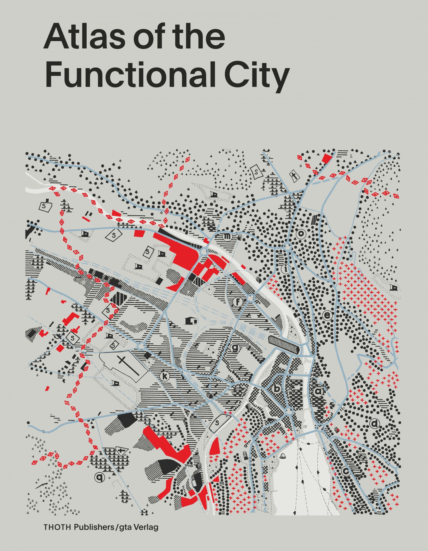
Atlas of the Functional City
CIAM 4 and Comparative Urban Analysis (2014)
About CIAM
The CIAM (Congrès Internationaux d'Architecture Moderne), founded in 1928, was a leading renewal movement in the field of architecture and urbanism that organised itself into a series of working conferences from 1928 to 1959.
CIAM 4, the legendary fourth congress, which took place in 1933 on board the Patris II on the Mediterranean, was led by architect Le Corbusier, urban planner Cornelis van Eesteren and art historian Sigfried Giedion. The congress was devoted to 'The Functional City' and represented a climax in thinking about city planning. The congress participants analysed a total of 34 cities on the basis of maps produced and used them to arrive at general insights concerning the city and urban design.
In 1935, the results of the congress were shown at the successful exhibition 'The Functional City' in the Stedelijk Museum in Amsterdam. Preparations for a scholarly publication of the congress were halted in the Second World War, leaving most of the material unpublished until now.
The book and the role of the EFL Foundation
The conference material has now been published. The 'Atlas of the Functional City' (2014) is the first systematic overview of the maps of CIAM 4 and offers a new perspective on a crucial moment in the history of modern urbanism.
The research project, involving researchers from Europe and the United States, was made possible by the Van Eesteren-Fluck & Van Lohuizen Foundation and gta Archiv of ETH Zurich. The EFL Foundation considered it of value to translate this important moment in the history of modern Dutch urbanism and in the life of Cornelis van Eesteren to the public and to share it with interested parties through this publication.
On 29 October 2014, the Mapping the City seminar was held at the Amsterdam Institute for Advanced Metropolitan Solutions in response to the publication.
The seminar 'Mapping the City
65 people participated in the seminar 'Mapping the City'. About a third of these were experts in their fields, in history, architecture and urban planning, 8 of them being the authors of the 'Atlas of the Functional City'. Other experts who participated in the seminar addressed topics such as geo-information, landscape architecture, planning and economic geography. Most of the participants were Dutch. The 15 individuals who attended the seminar came from Belgium, Germany, Iran, Italy, Norway, Switzerland, the United Kingdom and the United States.
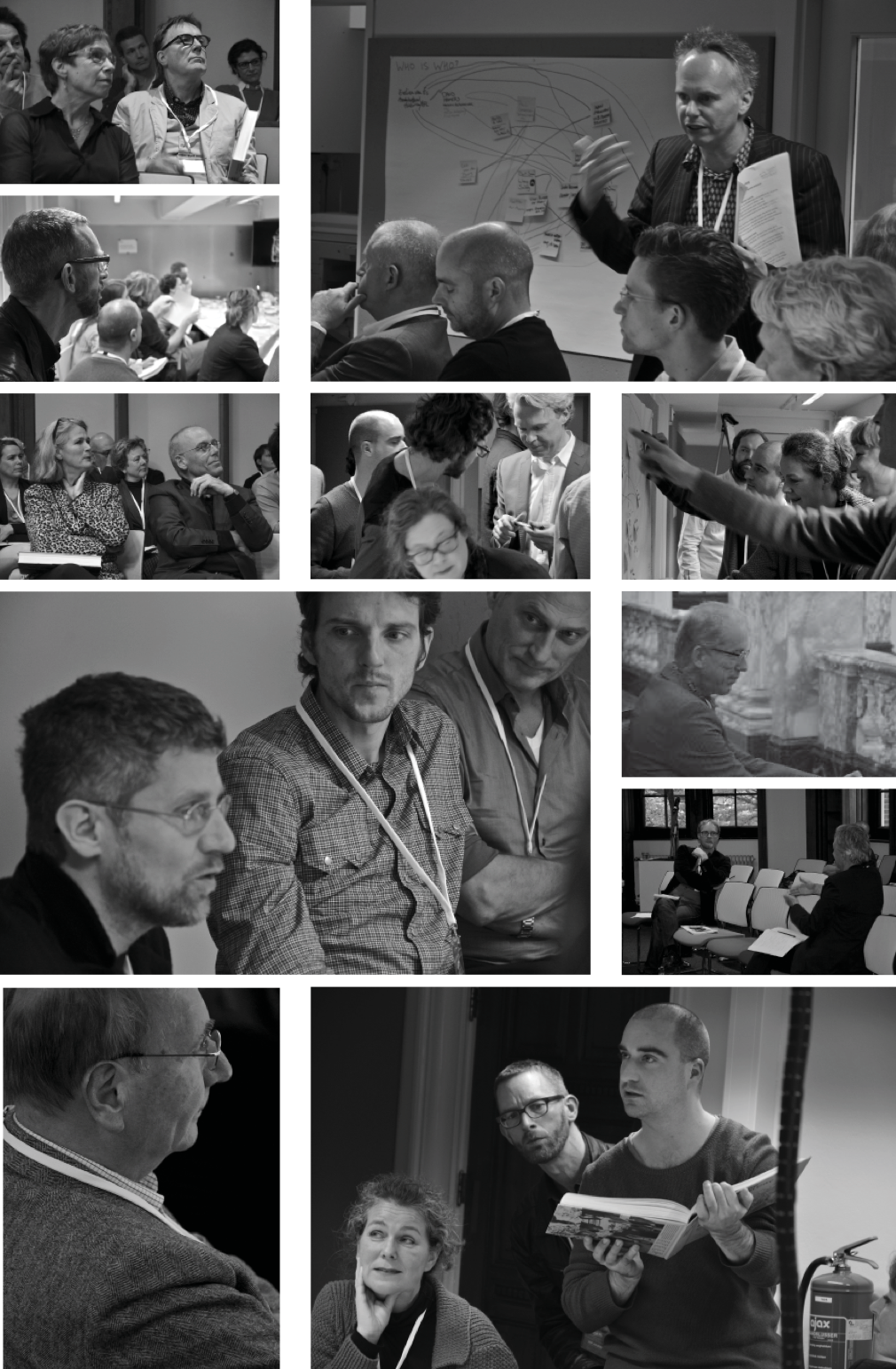
Photography: Roberto Rocco
Details
Publishers: THOTH Publishers Bussum, gta Verlag ETH Zurich
Editors: Evelien van Es, Gregor Harbusch, Bruno Maurer, Muriel Pérez, Kees Somer, Daniel Weiss
Design: Studio Joost Grootens
Bound edition, 480 pages, 750 colour illustrations
English
ISBN 978 90 6868 648 7
Price: €89,50